Groundwater levels throughout Nebraska continued to decline in 2025 following several years of persistent drought. According to the recently released 2026 Nebraska Statewide Groundwater-Level Monitoring Report from the Conservation and Survey Division in the University of Nebraska–Lincoln’s School of Natural Resources, groundwater levels declined, on average, by 0.29 feet. With a few exceptions, however, these declines did not significantly impact drinking-water supplies or groundwater for irrigation.
For the new report, nearly 5,000 wells were measured in spring 2024 and spring 2025 to monitor changes in groundwater levels in Nebraska. Of these wells, 62% recorded a decline. The largest declines, exceeding 10 feet, occurred in the Nebraska Panhandle, an area that has experienced continued drought conditions for several years. Much of Nebraska experienced some level of drought for most of the preceding six years. Above-average precipitation in central Nebraska, generally along the Platte River Valley, resulted in some minor groundwater-level rises, by as much as 10 feet in localized areas.
Most of the groundwater used in Nebraska comes from the High Plains Aquifer, referred to locally as the Ogallala Aquifer. The aquifer spans eight central U.S. states from South Dakota to Texas, and approximately 90% of Nebraska lies atop it.
As a rule, variations in shallow groundwater levels and precipitation are intimately linked. Precipitation is the main source of aquifer replenishment in Nebraska. It replaces part — but not all — of the groundwater pumped for irrigation and domestic use. Hotter and drier growing seasons drive higher irrigation demands, but they also entail less precipitation and, in turn, less groundwater recharge. Both effects lead to declines in groundwater levels. Years with above-average precipitation, however, provide more water for groundwater recharge and typically require less pumping for irrigation, and potentially result in rising groundwater levels.
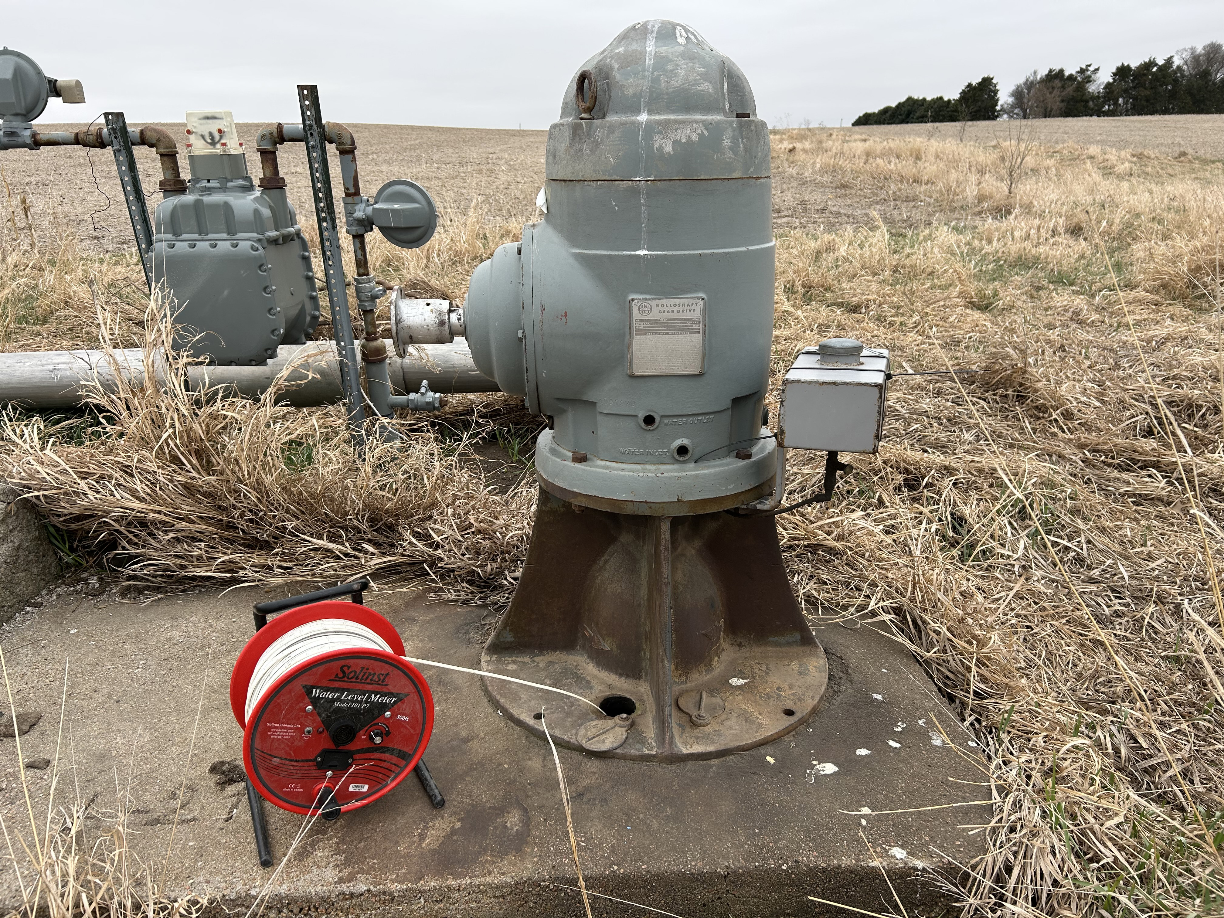
Nebraska’s thriving agricultural economy is heavily dependent on groundwater for irrigation. Nebraska producers draw irrigation water from more than 97,000 active irrigation wells statewide. Pumping groundwater from a vast number of wells can be detrimental to the long-term sustainable use of aquifers, but Nebraska is fortunate to have a nation-leading system of groundwater management in its 23 Natural Resources Districts. The NRDs regulate groundwater with comprehensive regional management plans that undergo periodic updates. Recent and long-term groundwater-level declines in some parts of the state constitute a persistent concern worthy of public awareness. Some wells in these areas will likely eventually go dry or need to be drilled deeper.
The annual report’s long-term change maps, which span pre-groundwater-irrigation times through 2025, verify the overall abundance of groundwater in Nebraska. Nevertheless, high-magnitude local changes in groundwater levels, from declines exceeding 130 feet to rises exceeding 120 feet, have also been apparent in successive iterations of the same map. Groundwater levels in most of Nebraska have experienced a net change of less than 20 feet since predevelopment times. Parts of Chase, Perkins, Dundy and Box Butte counties, in contrast, have experienced major, sustained declines in groundwater levels due to a combination of factors. Irrigation wells are notably dense in these counties, annual precipitation is comparatively low, and there is little or no surface-water recharge to groundwater.
The report was authored by Aaron Young, Mark Burbach, Valentina Ita, Susan Lackey, R. M. Joeckel and Jeffrey Westrop.
A free PDF of the report can be downloaded here. Printed copies can be purchased for $7 at the Nebraska Maps and More Store, 3310 Holdrege St., and phone orders are accepted at 402-472-3471.
Share
News Release Contact(s)
Related Links
Tags
High Resolution Photos