The Great Plains are big. Early in our exploration of them, people sought to map the region to help us understand our place in them. Natives made the first maps, and many others followed. This drive to discover where we fit shapes all aspects of how we understand the Great Plains.
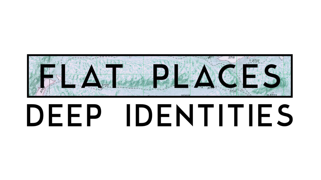
A conference, “Flat Places, Deep Identities: Mapping Nebraska and the Great Plains,” will examine how maps influence identity, culture, economics, natural resources, politics, creative expression and society as a whole. How do literary scholars, historians, farmers and others use mapping and maps in their scholarship or daily activities? The University of Nebraska-Lincoln’s Center for Great Plains Studies will host the conference as its 44th annual Great Plains Symposium.
The symposium will take place March 30-31 at Nebraska Innovation Campus. In part, it will commemorate the publication of the Atlas of the Great Plains (2011) and anticipate the publication of the Atlas of Nebraska (2017). It has also been designated an official event by Nebraska’s Sesquicentennial Committee.
The event is open to the public. The evening keynote is March 30, and all other talks take place March 31. The deadline for registering is March 10. For a schedule, registration and more information please go here or call 402-472-3964.
Sessions include:
Keynote: Susan Maher, University of Minnesota Duluth, author of “Deep Map Country: Literary Cartography of the Great Plains”;
Plenary: Susan Schulten, University of Denver, author of “Mapping the Nation: History and Cartography in Nineteenth-Century America”;
Plenary: Dan Cole, chief cartographer of the Smithsonian Institution, co-author of “Cartographic Interactions between Indigenous Peoples, Government and Academia”; and
Plenary: The editors of “Atlas of the Great Plains” and “Atlas of Nebraska” (Clark Archer, Fred Shelley, David Wishart, Don Wilhite, Les Howard and Richard Edwards).
Forty-one other papers will be presented, including:
“Fly-over Country: Air Population in the Great Plains,” Michael Peterson, University of Nebraska Omaha;
“‘The Kickapoos are strenuously opposed’: Forced Allotment, Land Fraud and Dispossession,” Stephen Egbert, University of Kansas;
“Mapping Past, Present and Future in the Great Plains: The Role of Modeling and Scenarios,” Terry Sohl, U.S. Geological Survey;
“Mapping Communism on the Northern Plains (with a Special Assist from the FBI),” William Pratt, University of Nebraska Omaha;
“Mapping Pioneer Movements to Define Success on the Great Plains,” Brandon Duxbury, Iowa State University; and
“Seeing by Other Lights: Revealing the Changing Landscape of the Great Plains,” Geoffrey Henebry, South Dakota State University.
Sponsors include Humanities Nebraska, the Cooper Foundation and the Nebraska 150th Committee. At Nebraska, sponsors include the Office of Research and Economic Development, Institute for Agriculture and Natural Resources, ENHANCE Program and the College of Arts and Sciences.