· 4 min read
Platte Basin Timelapse project enters new phase
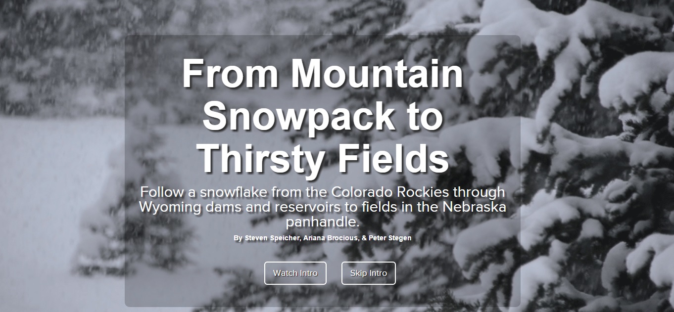
A multimedia report unveiled Oct. 22 at the Global Water for Food Conference in Seattle tells the story of a snowflake’s journey from the mountains through dams and reservoirs to beet fields in western Nebraska.
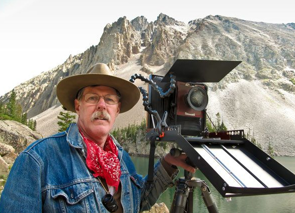
The piece features time-lapse photography from the Platte Basin Timelapse Project, co-founded by Nebraska conservation photographer Michael Forsberg and Michael Farrell, a documentary TV producer for NET, Nebraska’s statewide public broadcasting organization. They have stationed time-lapse camera systems to capture an image each hour of daylight at more than 40 locations throughout the Platte River basin. The aim is to capture the way water travels through the ecosystem. Some cameras have been running for more than three years.
“For the past three years, our project has been focused on the basic mechanics of getting time-lapse camera systems operating throughout the Platte Basin watershed,” said Ariana Brocious, NET multimedia journalist. “But now that we’ve mostly accomplished that, we’ve pivoted to telling the stories of this region through multimedia.”
The report, “From Mountain Snowpack to Thirsty Fields” is available at http://go.unl.edu/xwok.
Time-lapse sequences in “From Mountain Snowpack to Thirsty Fields” show:
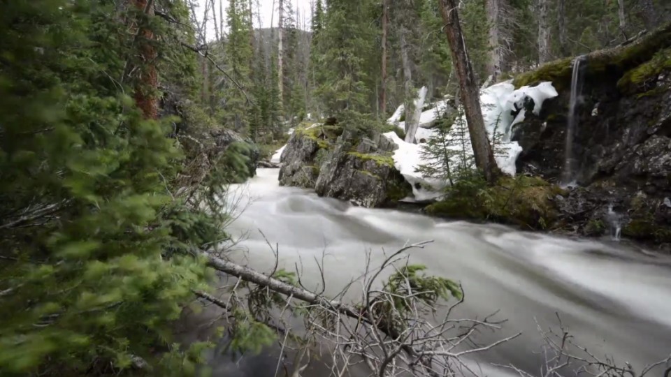
The changing water levels, snow melt and weather at Lake Agnes, at the North Platte’s headwaters near the Nokhu Crags in Colorado from August 2011 through August 2013.
The way Jack Creek in Colorado transforms into a raging stream as winter snows melt away in early 2012.
The interplay of water, snow and ice at Wyoming’s Seminoe Dam from May 2011 to April 2014.
Just how fast farmer Bob Busch’s sugar beets grow under irrigation during a 12-day period in July 2014.
The report also includes interactive maps and charts, video interviews, still photos and written text.
“Some of the cameras are really dynamic and it’s cool to use those to tell stories,” Brocious said. “But the cameras alone only tell so much. You have to expand and look behind the scenes and what’s happening on the ground.”
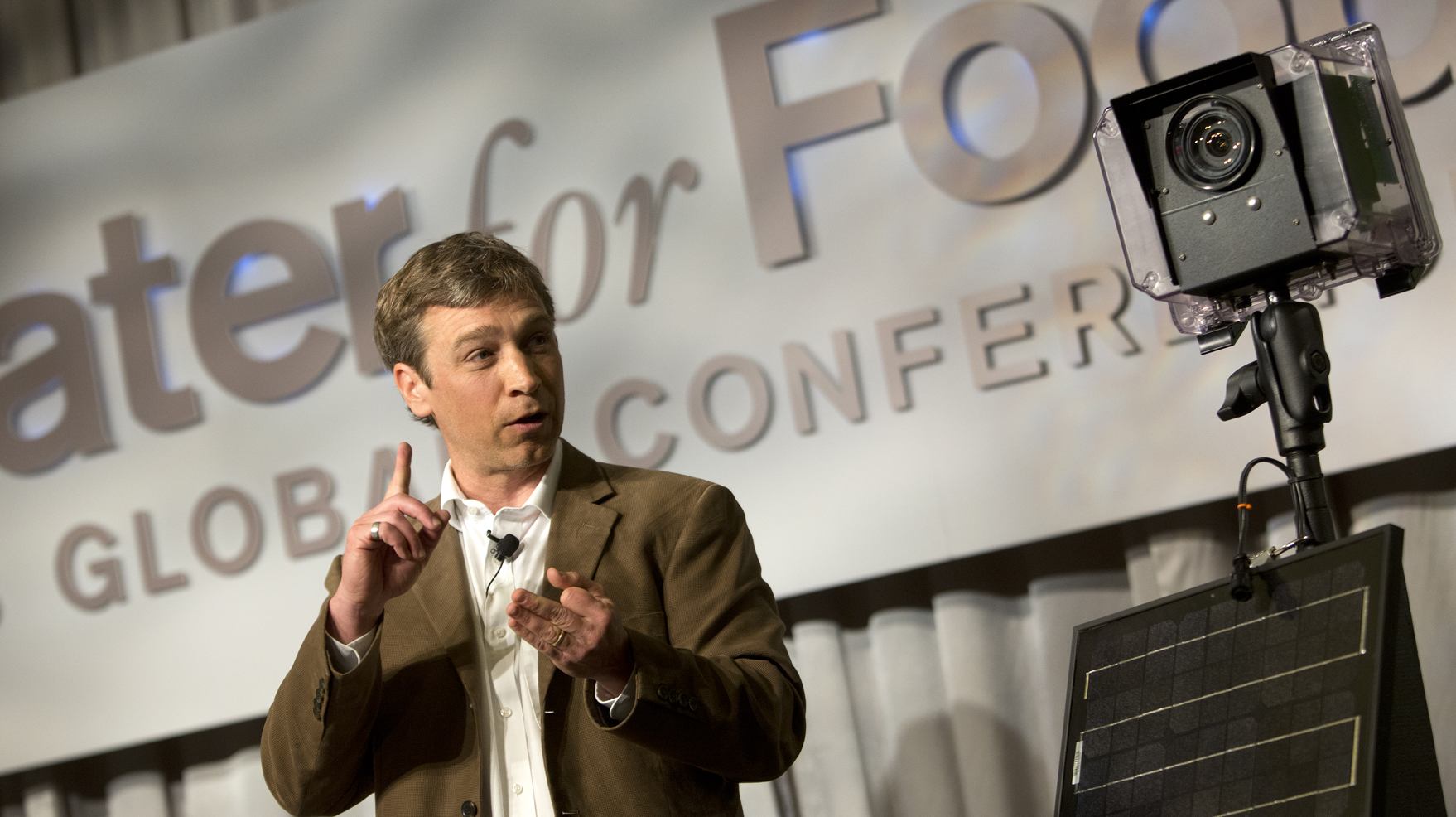
Web producer Steven Speicher and production assistant Peter Stegen presented information about the report and the Platte Basin Timelapse project to about 100 people during the water for food conference in Seattle.
The conference focused on how to leverage knowledge gained from “big data” for more sustainable irrigation and agricultural practices. Speicher said the Timelapse project is in keeping with that theme, because it uses countless numbers of photographs to help people better understand the Platte basin.
“One of our goals is to show people the watershed in motion, where the water comes from and where it goes, how it’s used and how it’s managed,” Speicher said.
The mountains-to-fields report, with its mix of old and new journalism techniques, is patterned after similar journalism being pioneered by the New York Times, National Public Radio and others.
“This particular piece is the first of several we hope to produce like it,” Brocious said. The project is to culminate in a public TV documentary in coming years, she said.
UNL’s Institute of Agriculture and Natural Resources is a partner in the project, along with NET, Forsberg and Farrell. Other funders include UNL and the Robert B. Daugherty Water for Food Institute.
Brocious said report is aimed at farmers, ranchers and policy makers in Nebraska, Colorado and Wyoming, as well as citizens interested in how what happens in the mountains during the winter affects cities and towns downstream.
Platte Basin Timelapse co-founders Forsberg and Farrell are also assistant professors of practice at UNL. Forsberg has been a professional photographer for more than 20 years, specializing in wildlife and conservation stories of the Great Plains. His most recent project was the book “Great Plains: America’s Lingering Wild” and the PBS documentary of the same title. Farrell currently serves as the special projects manager for NET, Nebraska’s statewide public broadcasting organization. His areas of specialization include history and humanities documentaries. Two of his most well-known, award-winning productions include “In Search of the Oregon Trail” and “The Platte River Road.”
To learn more about the Platte Basin Timelapse project go to http://www.plattebasintimelapse.com/about.
— Mekita Rivas, Natural Resources, contributed to this story.
Recent News