This year’s Geologic Map Day is Oct. 17. The annual event is designed to promote awareness of geologic mapping and its importance to society. It’s celebrated as a part of Earth Sciences Week, which is organized by the American Geosciences Institute.
“Mapping is a fundamental part of what a state geological survey does,” said Matt Joeckel, Nebraska state geologist and associate director for Conservation and Survey in UNL’s School of Natural Resources.
Geological surveys are charged with identifying the natural resources for a given area, including the groundwater, fossils and minerals. Geologic maps are an integral part of sharing data and research with stakeholders.
“While written documents of various kinds are useful, geologic maps are the most effective way to portray these resources to government agencies and the general public,” said Paul Hanson, associate director of the School of Natural Resources. “Our maps are useful for geologists of course, but also for individuals in other trades such as engineers, planners and soil scientists.”
The history of geologic mapping in the area that is now the state of Nebraska dates back to the mid-19th century. Today, Nebraska’s geological survey typically produces two types of maps: surficial geologic maps that portray the nature of the materials found at the surface, with detailed explanations of the nature of the materials, and interpretations on how the landscape evolved to its present form.
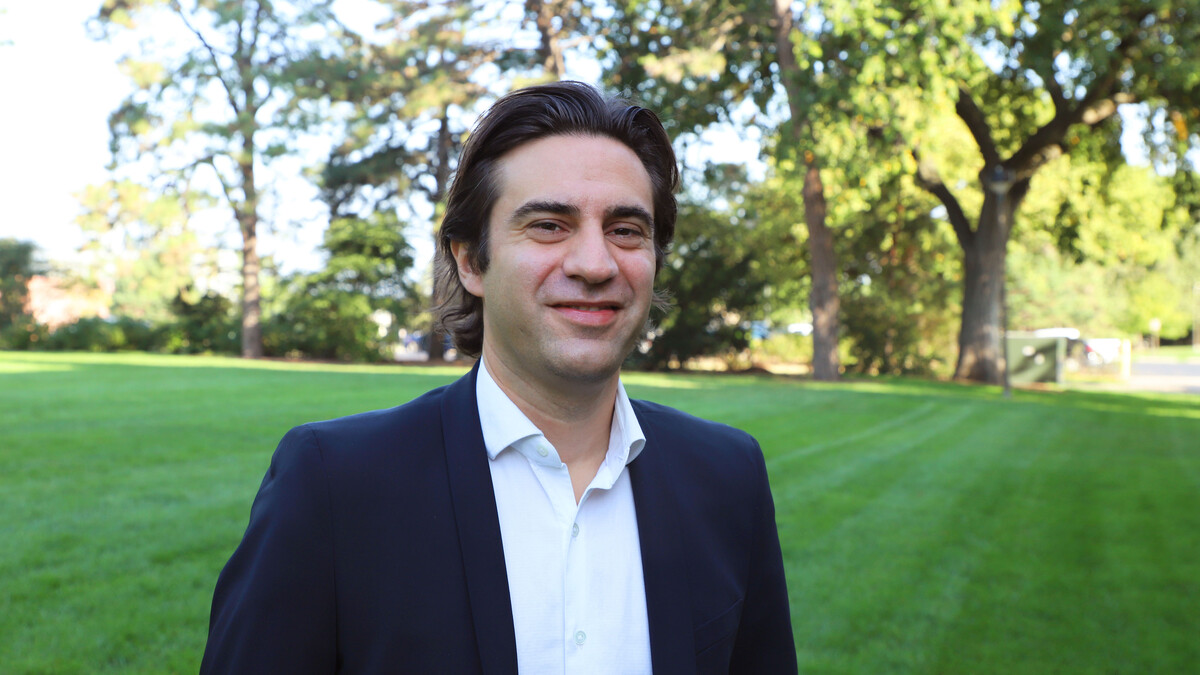
Aaron Young, survey geologist, has mapped surficial geology along the Platte River, in Clay and Fillmore counties and in the Lincoln and Crete areas.
“Much of my work has focused on mapping the most recent sediments on the landscape, and in many cases representing those sediments in a cross section,” Young said. “The cross section and the map combined give the reader a 3-D idea of what is underground.”
This detailed understanding of surface sediments can be crucial for understanding groundwater movements and properties, locating groundwater wells and locating construction aggregates, road gravel and similar materials on a local scale.
“Geologic maps, however, are like hypotheses – they need to undergo repeated testing and revision, Joeckel said. “All of our mapping is now done in a geographic information systems environment, which is a major change over how we did things even 15 years ago,” he said.
GIS technology and the capability for easily disseminated digital products have dramatically improved work efficiency and the ability to distribute results to many stakeholders.
In Nebraska, geologic mapping has identified the major role that wind has played in shaping landscapes across the state. Geologic mapping has also highlighted the interesting sedimentary features of Nebraska’s aquifer-bearing sedimentary rocks and unusual near-surface geochemical reactions, such as acid-rock weathering – the “natural” equivalent of acid mine drainage.
Geologic maps generated by the Conservation and Survey Division are free to download at http://snr.unl.edu/csd/.